Commercial Satellite Company Restricts Middle East Imagery Access Amid Regional Conflict
Planet Labs, a major commercial satellite imaging provider, announced on Friday that it will temporarily restrict access to imagery from certain Middle Eastern regions as military tensions escalate in the area. The company operates hundreds of Earth-observation satellites that capture daily images of global landmasses.
The satellite firm serves diverse clients including research institutions, non-governmental organizations, academic centers, media outlets, and commercial enterprises across agriculture, forestry, and energy sectors. Additionally, Planet maintains significant contracts with U.S. military and intelligence services.
According to the company’s official statement, new imagery covering the Gulf States, Iraq, Kuwait, and surrounding conflict areas will face a mandatory 96-hour delay before becoming publicly available. However, Iranian territory imagery will continue to be released immediately, with authorized government users maintaining unrestricted access for operational purposes.
Strategic Intelligence Concerns
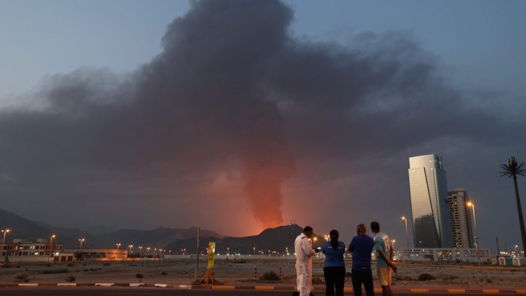
Recent satellite images from Planet revealed the impact of Iranian missile and drone attacks on American and allied installations throughout the region. The imagery documented damage to the U.S. Fifth Fleet headquarters in Bahrain and a billion-dollar early warning radar system in Qatar designed to detect incoming threats.
The company stated its intention to prevent hostile forces from utilizing this intelligence for battle damage evaluation, essentially denying Iran’s military the ability to assess the effectiveness of their strikes. This decision reflects Planet’s commitment to protecting U.S., allied, and NATO personnel safety in the region.
The threat to American forces remains significant, with six Army reservists losing their lives during an Iranian assault in Kuwait on March 1. Commercial satellite data has also revealed attacks on U.S.-manufactured portable radar systems in Jordan, the United Arab Emirates, and potentially Saudi Arabia, which support THAAD missile defense networks.
Company Background and Mission
Established in 2010 by former NASA researchers, Planet initially focused on environmental monitoring and climate research initiatives. Co-founder Will Marshall emphasized the company’s environmental mission in 2014, stating their goal was to image Earth for planetary preservation. However, the firm has since secured substantial defense contracts with the Pentagon, National Reconnaissance Office, and National Geospatial-Intelligence Agency.
The company maintains that it remains committed to providing global transparency through satellite imagery while acknowledging the responsibility to prevent data misuse that could contribute to increased casualties during the current volatile situation.
Alternative Imagery Sources
Planet did not confirm whether the U.S. government specifically requested the imagery restrictions. Other commercial satellite providers continue operating without similar Pentagon relationships, including Airbus, which operates the Pléiades constellation of high-resolution European satellites that have documented radar damage in Jordan and the UAE.
Chinese imaging satellites are increasingly active in low-Earth orbit, with one Chinese company recently publishing imagery showing American military deployments in the Middle East. While Iran operates its own surveillance satellites, they lack the sophistication of American, European, or Chinese imaging capabilities and have no airborne surveillance capacity over Gulf States.
Intelligence reports indicate that Russia, a major Iranian arms supplier, is now providing targeting intelligence to support Iranian attacks on American forces in the region. Another prominent U.S. satellite company, Vantor (formerly Maxar), continues publishing high-resolution images of regional military activity while maintaining its established policy of not sharing imagery of U.S. or coalition forces with media outlets.